Laser scanning
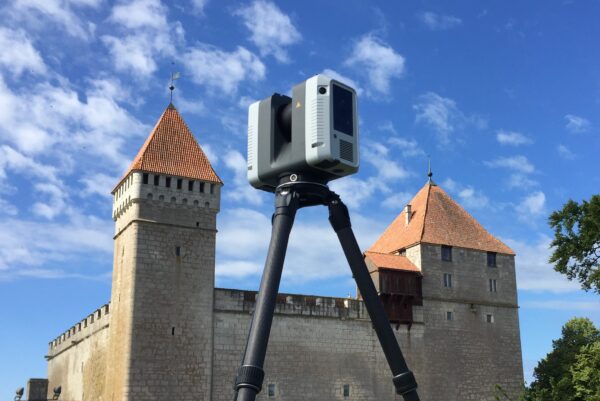
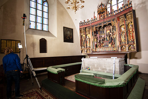
Laser scanning allows a large amount of detailed and accurate 3D information from objects and the surrounding environment to be collected in a short time.
Point Cloud processing
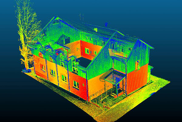
Laser scanning results in a large number of Point clouds. We combine them into a single Point Cloud model and transmit them in an agreed…
Creating 2D drawings out of a Point Cloud
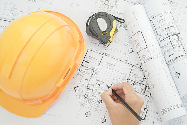
Views, sections, floor plans and other detailed drawings in 2D format can be easily created from the Point Cloud.
Creating 3D models out of a Point Cloud
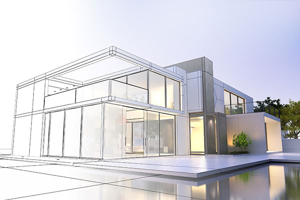
Most often, the so-called baseline models are drawn from Point Clouds resulting from laser scanning, which are the basis for architects and designers in their…
BIM modelling
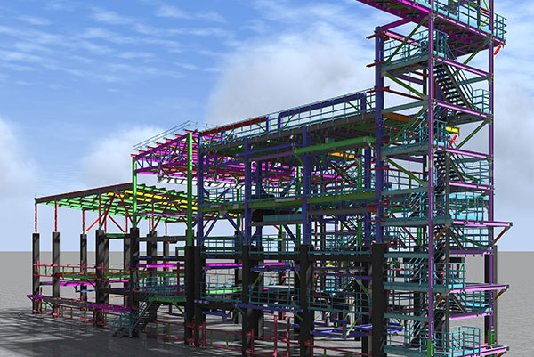
If information is added to the 3D model, we can talk about BIM (Building Information Model).
Photogrammetric surveys
Photogrammetry is a survey method based on the use of overlapping photos (stereo photo), which is almost as old as photography itself.
Drone surveying
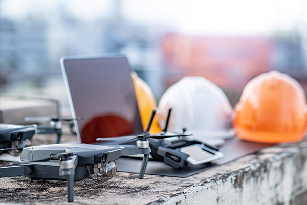
Aerometric survey from the drone enables the rapid and low cost survey of large areas of land. The work results in a Point Cloud, an…

