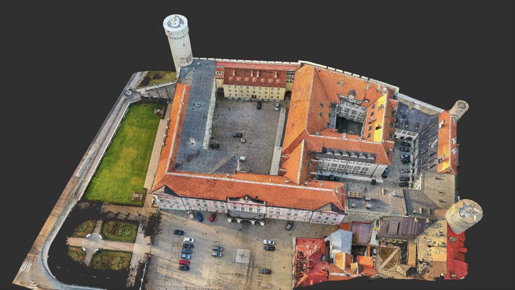
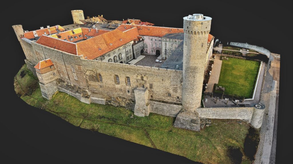
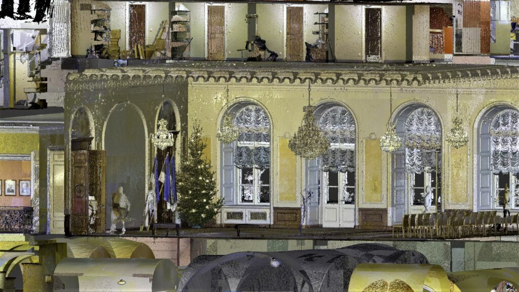
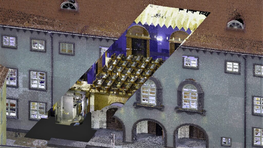
Laser scanning and drone surveying of Toompea Castle (Estonian Parliament)
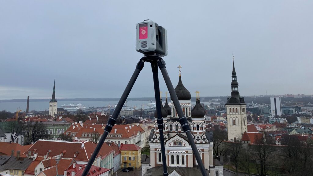
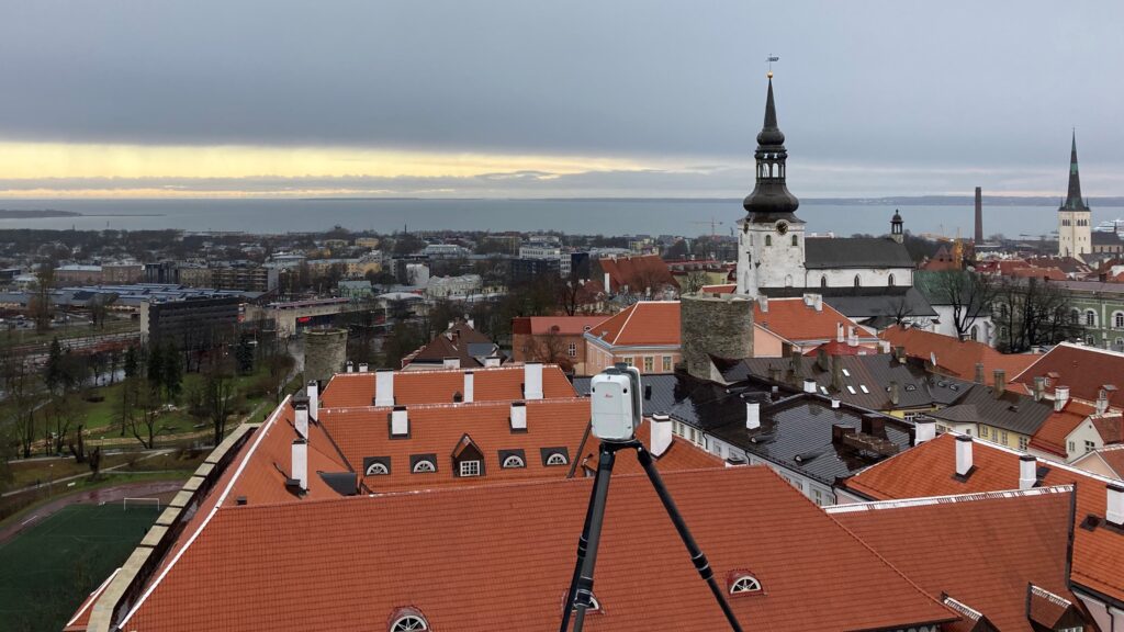
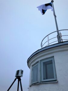
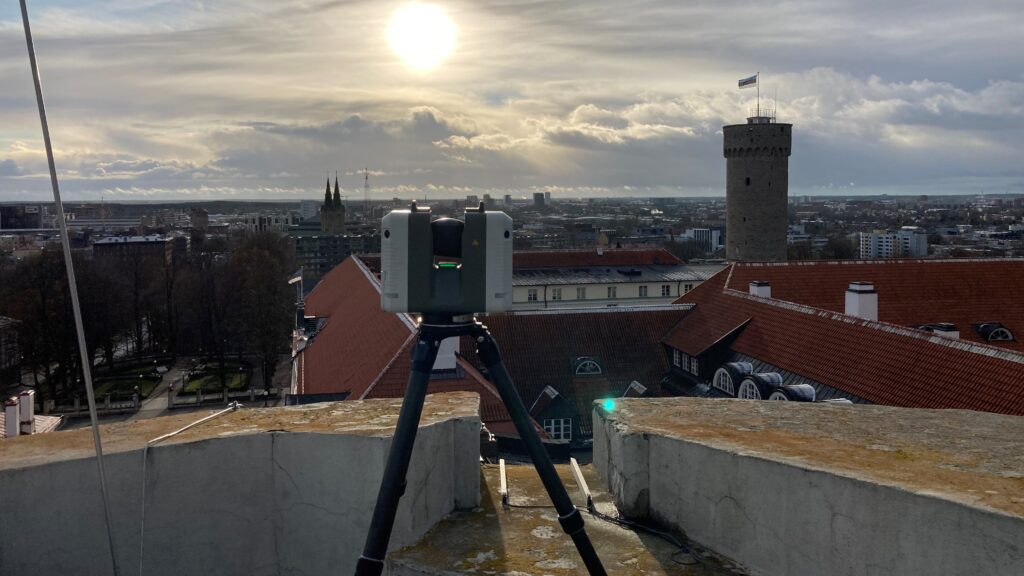
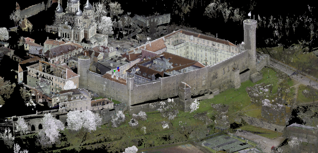
At the request of the Chancellery of the Riigikogu, the Toompea Castle building complex were surveyed using a Leica RTC360 laser scanner and a DJI Phantom 4 Pro drone.
Laser scanning and drone surveying as well as point cloud processing resulted in a 3D point cloud model.
The point cloud model of the external part of the castle complex can be viewed in the web environment created by Archaeovision OÜ from this link.