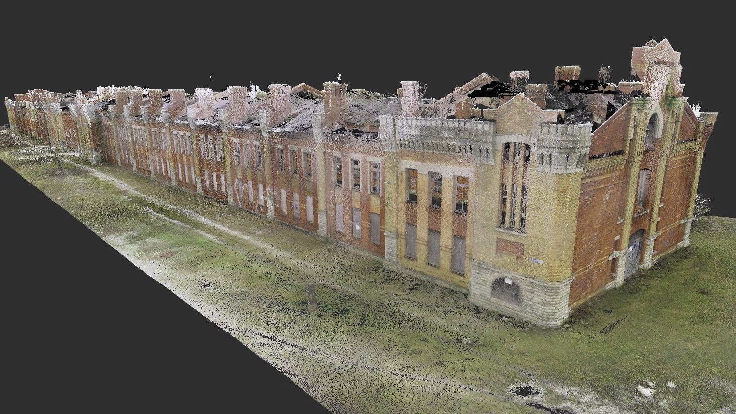
Tondi 53 punktipilv Tondi 53 3D mudel Tondi 53 3D mudel Tondi 53 3D mudel
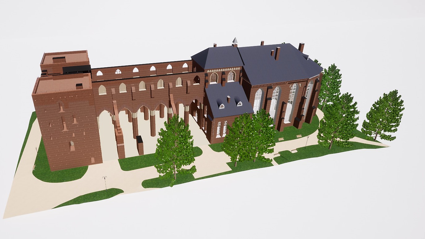
Tartu Toomkirik – punktipilv Tartu Toomkirik – punktipilv Tartu toomkirik – droonifoto Tartu toomkirik – droonifoto Tartu toomkirik – 3D BIM mudel Tartu toomkiriku 3D mudel
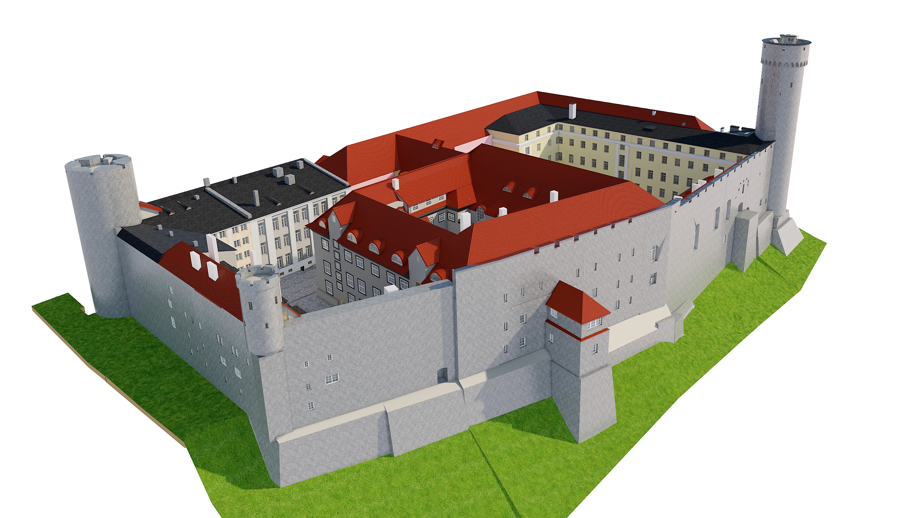
Toompea_loss_3D_mudel Toompea_loss_3D_mudel Toompea_loss_3D_mudel Toompea_loss_3D_mudel
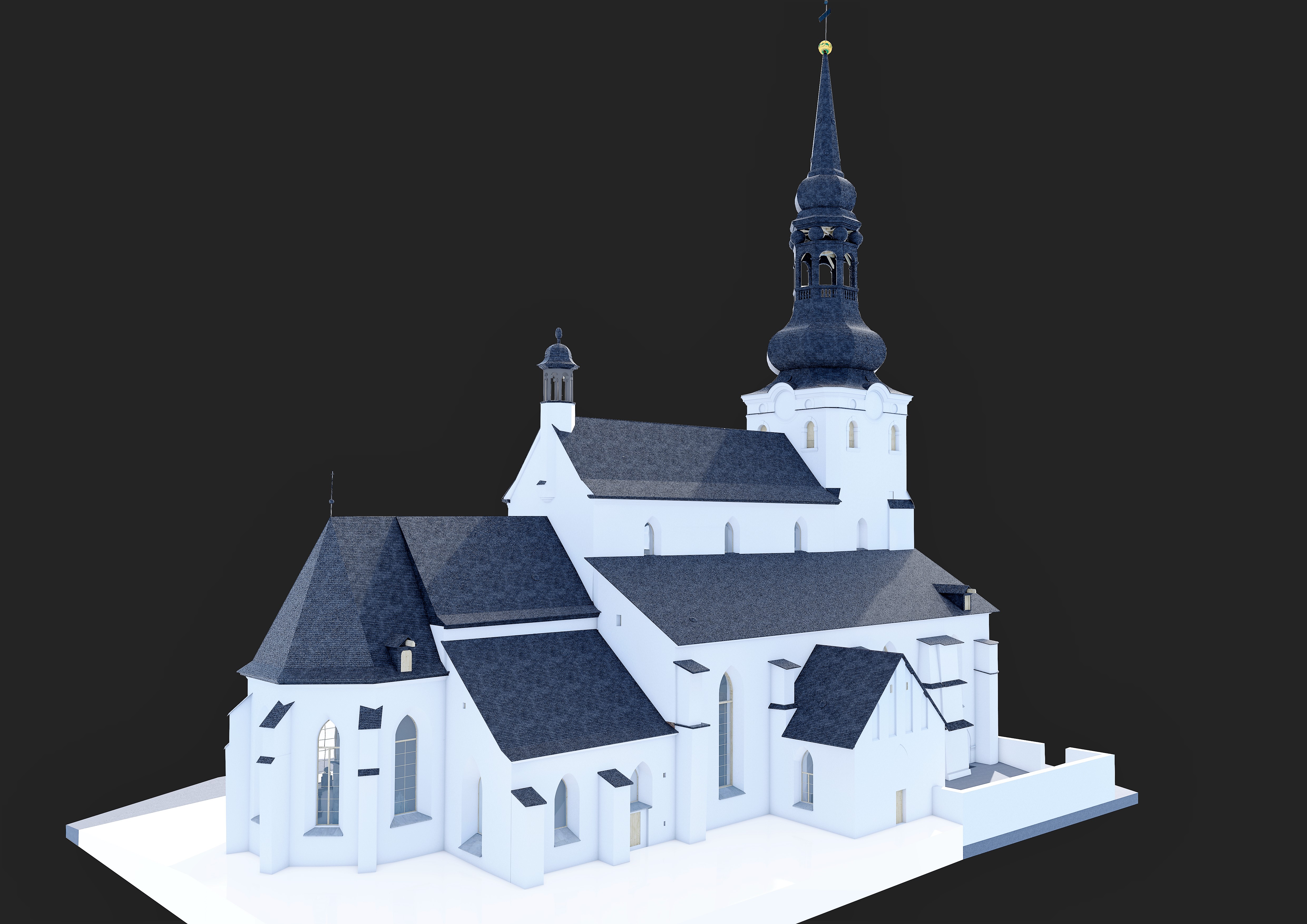
A detailed 3D BIM model and 2D drawings of the St. Mary’s Cathedral in Tallinn were compiled from the point cloud obtained as a result of laser scanning and drone surveying. The model was compiled in Archicad and deliveredin PLN, RVT, DWG and IFC formats. 2D drawings were delivered in DWG and PDF formats. Toomkirik […]
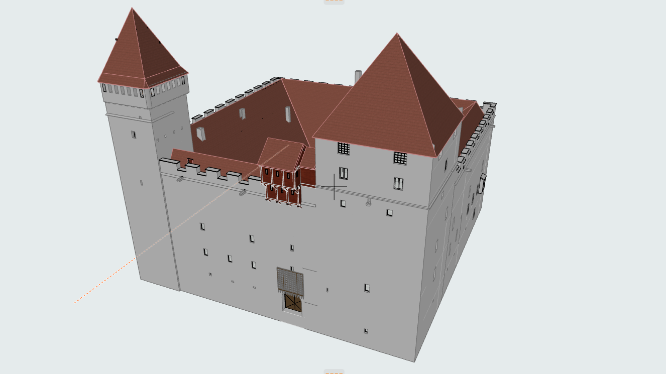
A 3D BIM model and 2D drawings of the Kuressaare Castle were compiled from the point cloud obtained as a result of laser scanning. The model was developed using Archicad 23 software.Work performed in the order of the foundation SA Saaremaa Muuseum. Kuressaare lossi 3D mudel Kuressaare lossi 3D mudel Kuressaare lossi 3D mudel Kuressaare […]
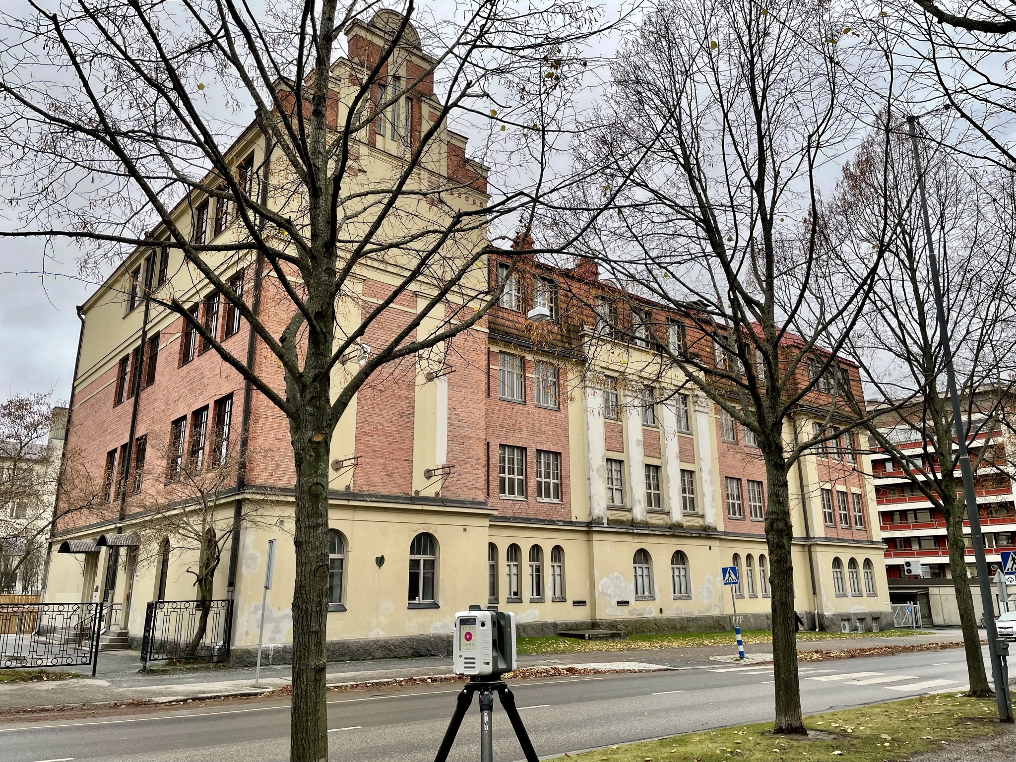
The facades, roof, stairwells and basement of the apartment building were measured by laser scanning and a point cloud ReCap model and 2D drawings were prepared.
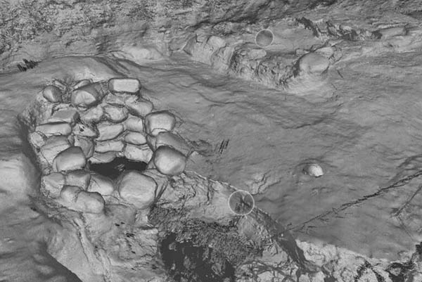
Documentation of archaeological excavations – February 2020 The foundations and a well of a medieval building were found on a construction site on Oda Street in Tallinn. The archaeological findings needed to be quickly documented so that construction could continue. The archaeological excavation site was surveyed with a laser scanner. Laser scanning resulted in a […]