Our services
Contact Us
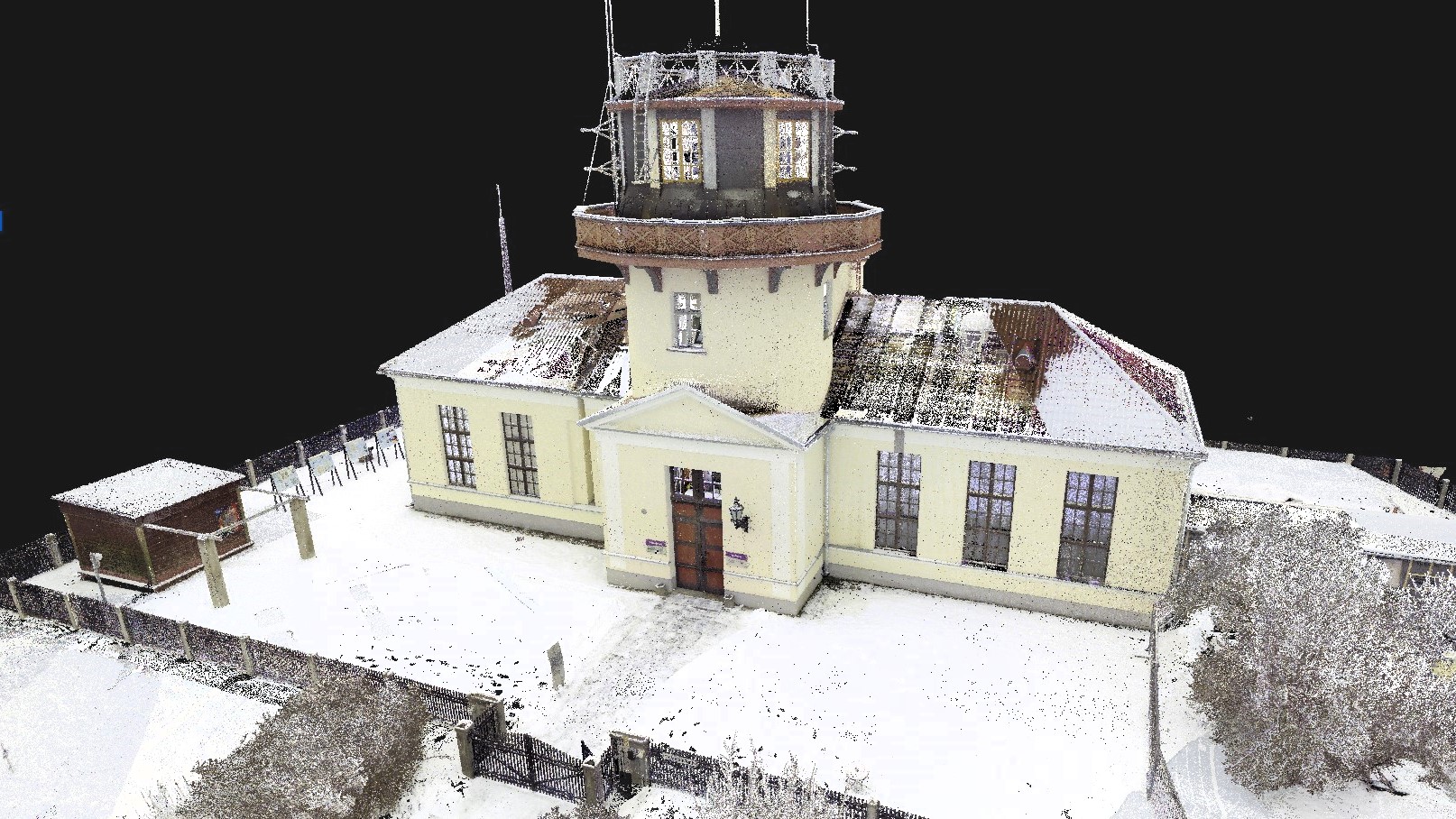
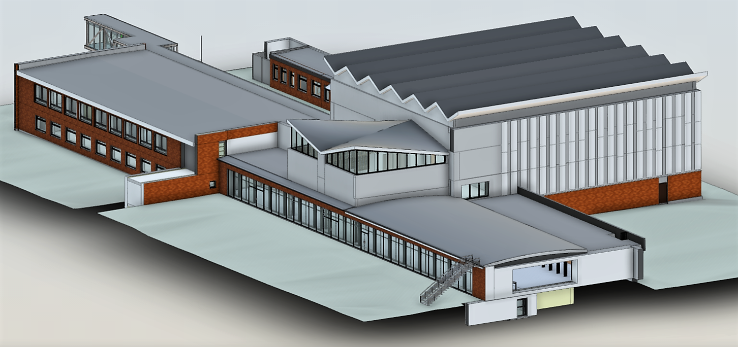
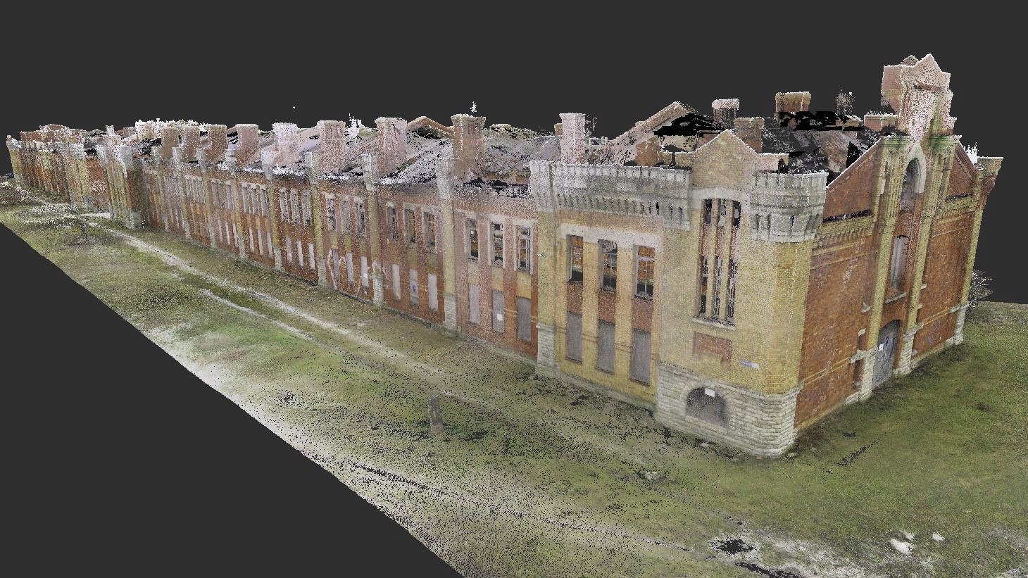
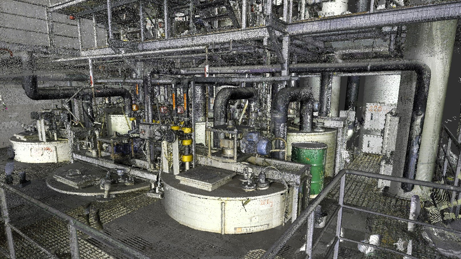
We collect accurate 3D data from the surrounding environment and process it in to a customer-friendly format
3D Laser Scanning of
Buildings and Structures
DataCap is committed to applying modern 3D survey methods to meet the needs of the rapidly developing digital construction industry for accurate spatial information.
By using laser scanning, photogrammetry and drone survey methods, we can quickly and accurately collect important 3-dimensional information for our customers and process it according to the needs of the customer.
The results of our work are Point Cloud models, 2D drawings, 3D models (baseline models, BIM models, as-built models).